The Friends of Raleigh Park
Home page
Previous Events
Wild Oxford
Resources
Photos
Minutes
Resources
Ecological surveys
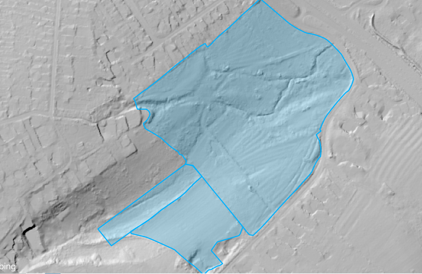
Lidar map of Raleigh Park
2024
Chilswell Valley Botanical survey
2023
Raleigh Park Botanical survey
2023
Principal and Rare Fen Plants
2023
Invertebrate survey
2023
Study by Adam Bows
of the outcomes of the Wild Oxford initiative 2021
Invertebrate survey
2021
Judy Webb Species List
2017-19
Judy Webb report
2019
Judy Webb report
2018
Judy Webb records
2011-17
Bats
2019
Status
2013
Talk by Gerald Dawe
2014
Survey by Gerald Dawe
1996
Species lists
Fauna List
2013
Bird List
2013
Insect List
2014
Plant List
2014
Maps
TVERC Local Wildlife Site
2021
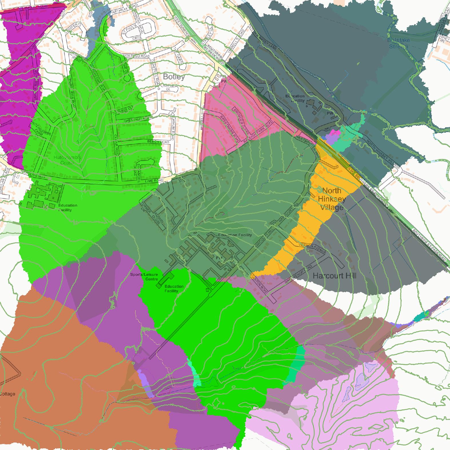
Catchment Area Map
2019
Flora Map
2013
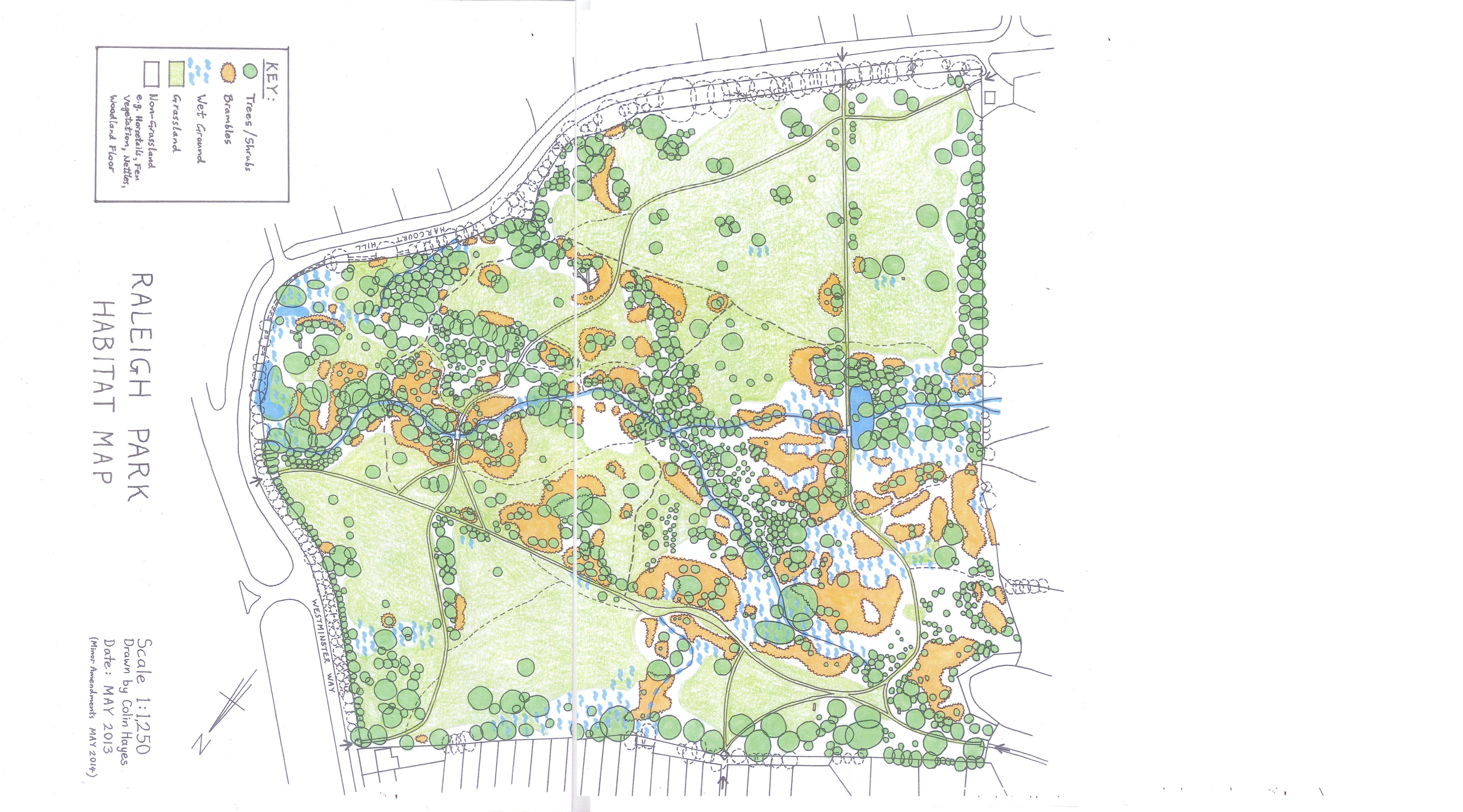
Habitat Map
2014
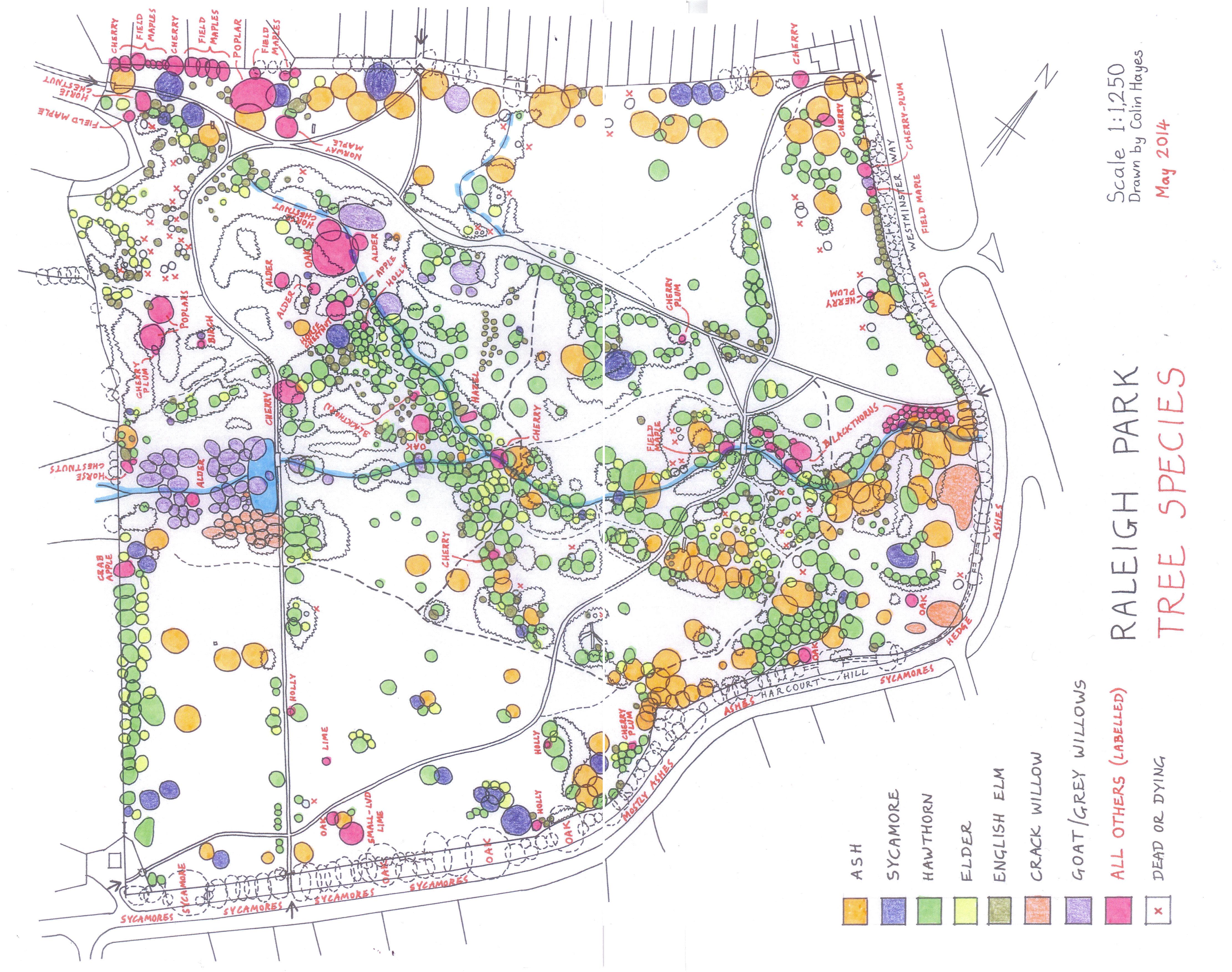
Tree Map
2014
Overlay of Flora, Habitat and Tree Maps
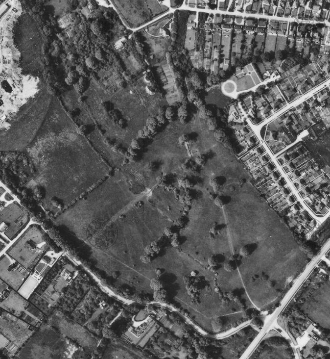
Arial photo
1961
(from the Oxfordshire History Centre)
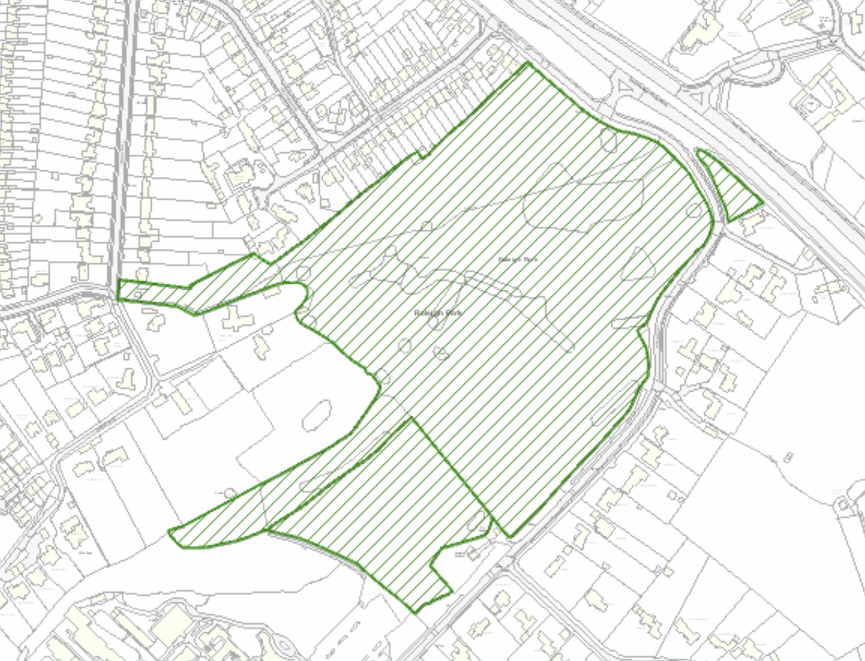
Map of paths
Google Earth flyover
of Raleigh Park. The position of a proposed development can be seen shown in blue on the map.
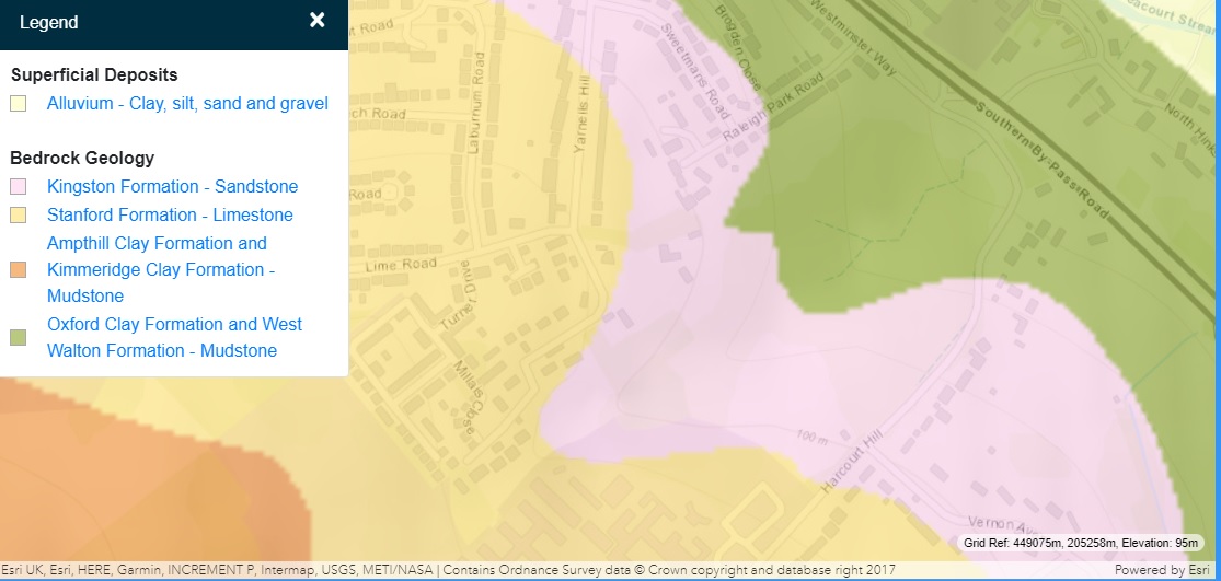
British Geological Survey Map
2020
The lower NE area is clay, the upper SW sandstone.
Raleigh Park location
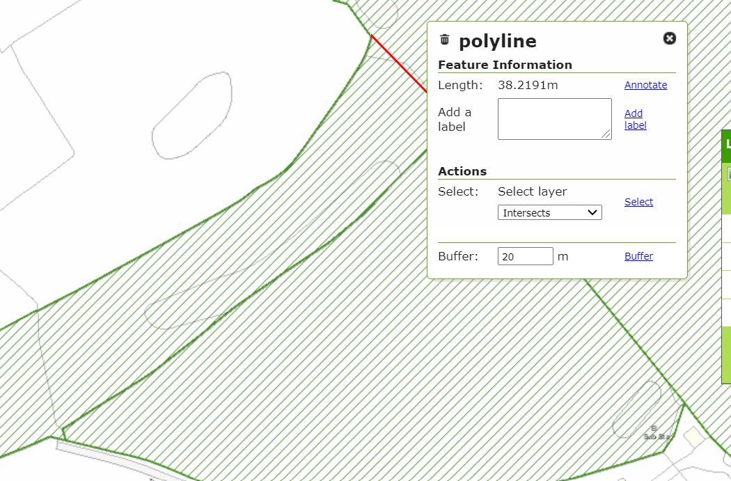
Tongue width 1
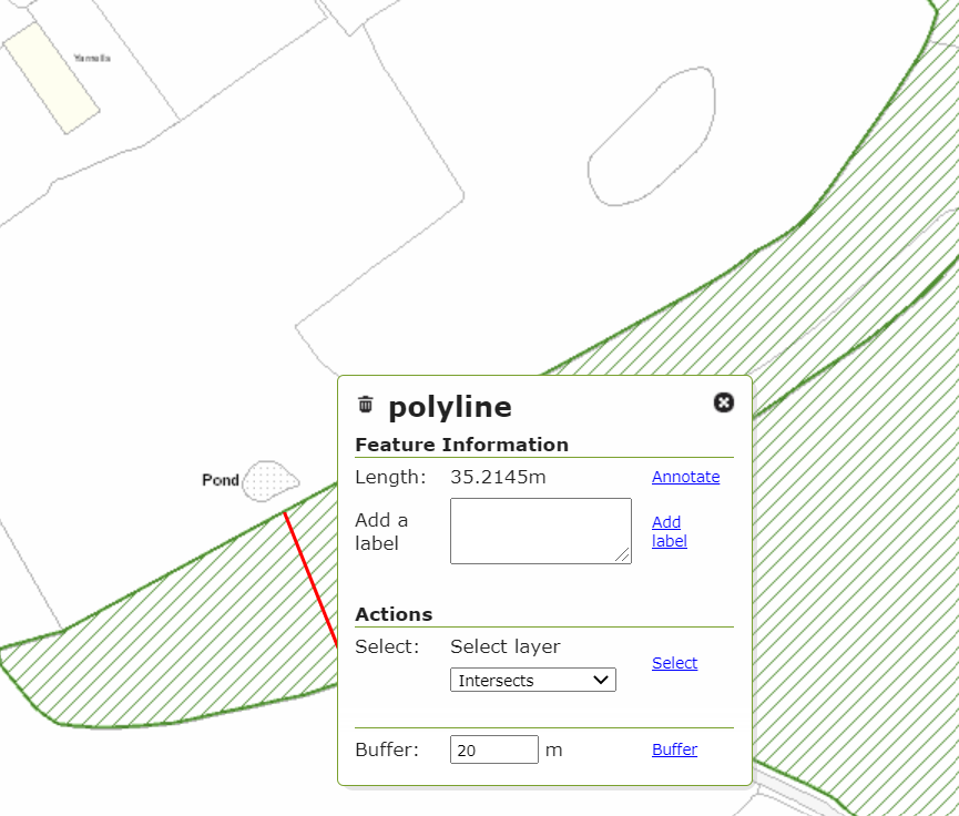
Tongue width 2
Tongue width 3
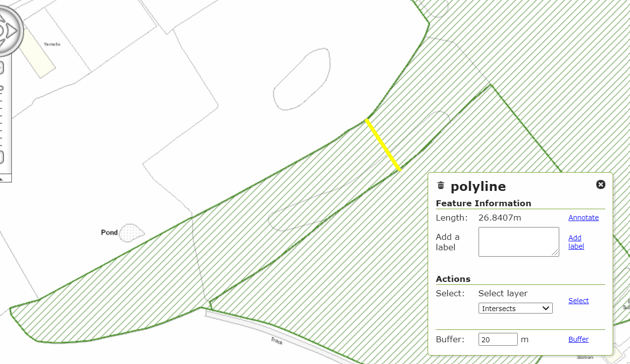
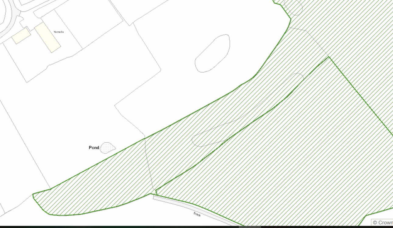
Tongue Map
External links
External Links